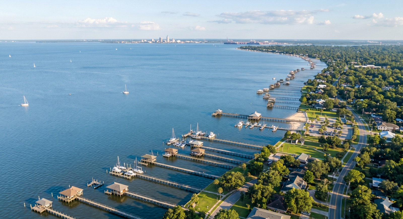
Alabama Seawall & Dock Permitting Guide
Building or rebuilding a seawall, bulkhead, dock, or boat lift on Mobile Bay means clearing three layers of approval: federal, state, and local. This guide walks through who regulates what, when you actually need a permit, how long it takes, and the documents that keep your project from stalling. It covers Mobile and Baldwin County specifically.
First question: do you even need a permit?
Almost any work that sits in the water, touches the shoreline, or places fill below the high-water line triggers some level of review. New seawalls, new docks, dredging, riprap, and boat lifts on state waters generally require permits. The gray area is repair.
Routine maintenance of a structure that is still serviceable, kept to its original footprint and dimensions, is treated more leniently than new construction. The moment a "repair" becomes a rebuild, an extension further into the water, or a relocation, the agencies treat it as new work. If you are unsure which side of that line your project falls on, ask before you mobilize a crew. A short call up front is far cheaper than a stop-work order.
Layer 1: Federal (U.S. Army Corps of Engineers, Mobile District)
The Corps regulates structures and fill in the navigable waters and wetlands of the United States, which includes most of Mobile Bay, its tributaries, and the back bays. Two authorities matter for waterfront homeowners:
- Section 10 of the Rivers and Harbors Act governs structures in or over navigable water. Docks, piers, bulkheads, seawalls, and boat lifts fall here.
- Section 404 of the Clean Water Act governs the discharge of dredged or fill material into waters of the United States, including coastal wetlands. Riprap, backfill behind a new seawall, and dredging fall here.
Many standard residential projects qualify under a general or nationwide permit rather than a full individual permit, which is the faster track. Which one applies depends on the structure type, size, and whether wetlands are involved. The Mobile District reviews these for the Alabama coast, and on most residential work they also coordinate the state and other federal agency sign-offs through a single review. Start with the Corps to learn which permit category your project lands in.
Layer 2: State (ADEM and Alabama State Lands)
Two state bodies are involved. The Alabama Department of Environmental Management (ADEM) administers Alabama's coastal program and reviews projects in the coastal area for consistency with state water-quality and coastal-management rules. On a coordinated Corps application this state review usually runs in parallel rather than as a separate trip.
Separately, the ALDCNR State Lands Division manages Alabama's state-owned submerged lands. If your structure extends over or rests on bottom that the state owns, you may need permission or an easement to occupy that land, independent of the construction permit itself. This is the step homeowners most often miss, because the construction can be approved while the right to occupy the bottom is still unresolved.
Layer 3: Local (county and city)
Local rules govern what you build on the upland side and how close to the property line and water it can sit:
- Baldwin County Planning & Zoning and Mobile County set shoreline setbacks, building permits, and zoning conditions for unincorporated areas.
- Municipalities such as Fairhope, Daphne, Spanish Fort, Orange Beach, and Gulf Shores have their own building departments and may add setback, height, and design requirements inside city limits.
- Flood zones. Most waterfront lots sit in a FEMA flood zone, and coastal high-hazard (V) zones carry stricter construction standards for any habitable or attached structure. Your local building official confirms the zone and what it requires.
Confirm local requirements with the jurisdiction your property actually falls in. A lot in Point Clear is under Baldwin County; a lot a mile away inside Fairhope city limits answers to the City of Fairhope.
What each structure typically requires
This table is a starting orientation, not a determination. Your specific site and scope set the actual path.
| Project | Federal (USACE) | State | Local |
|---|---|---|---|
| New seawall / bulkhead | Section 10 + 404 | ADEM coastal review; State Lands if on state bottom | Setback + building permit |
| Seawall / bulkhead repair (same footprint) | Often maintenance-level review | Lighter review; confirm | Confirm with jurisdiction |
| New dock or pier | Section 10 | State Lands occupancy | Setback + building permit |
| Boat lift | Section 10 | State Lands if over state bottom | Usually with dock permit |
| Riprap / shoreline stabilization | Section 404 | ADEM coastal review | Confirm with jurisdiction |
| Dredging | Section 10 + 404 | ADEM water quality | Confirm with jurisdiction |
Timeline: what to expect
A residential project that qualifies under a general or nationwide permit, submitted complete, commonly moves in a few weeks to a couple of months. A project that requires an individual permit, a public-notice period, or wetland coordination can run several months. The variable you control is completeness. The fastest applications are the ones the agency does not have to send back for missing drawings, a survey, or adjacent-owner information.
Documents checklist
Having these ready before you apply is the difference between a clean review and months of back-and-forth:
- A current property survey showing the shoreline, property lines, and any existing structures
- A site plan and drawings of the proposed structure with dimensions and water depths
- Plan and cross-section views (the Corps wants both)
- Location maps tying the site to the waterway
- Names and addresses of adjacent waterfront property owners
- Your FEMA flood-zone determination for the parcel
- Photos of the existing shoreline and any structure being repaired or replaced
Common reasons projects stall
- Incomplete first submittal. Missing a survey, cross-section, or adjacent-owner list resets the clock.
- Skipping the State Lands step. The construction gets approved but the right to occupy the bottom is unresolved.
- Treating a rebuild as a repair. Enlarging or relocating a "repair" pulls it into new-construction review mid-project.
- Wetland surprises. Marsh or fringe wetland at the site changes the permit path and the timeline.
- Wrong jurisdiction assumed. Applying to the county for a lot that is inside city limits, or the reverse.
How to start without guessing
The reliable order is: confirm your flood zone and jurisdiction locally, identify which Corps permit category your project fits, and resolve State Lands occupancy if your structure sits on state bottom. An experienced Mobile Bay marine contractor does this every week and will usually prepare the drawings and manage the submittals as part of the job. The permit is still issued in your name, so make sure you know who is filing what before any work begins.
If you want a read on what your specific project will require, we will walk your shoreline, tell you which permits apply, and give you a written estimate. There is no charge for the assessment.